Notoxytech GCS: One Universal Ground Control Station for MAVLink Drones, Three Ways to Fly
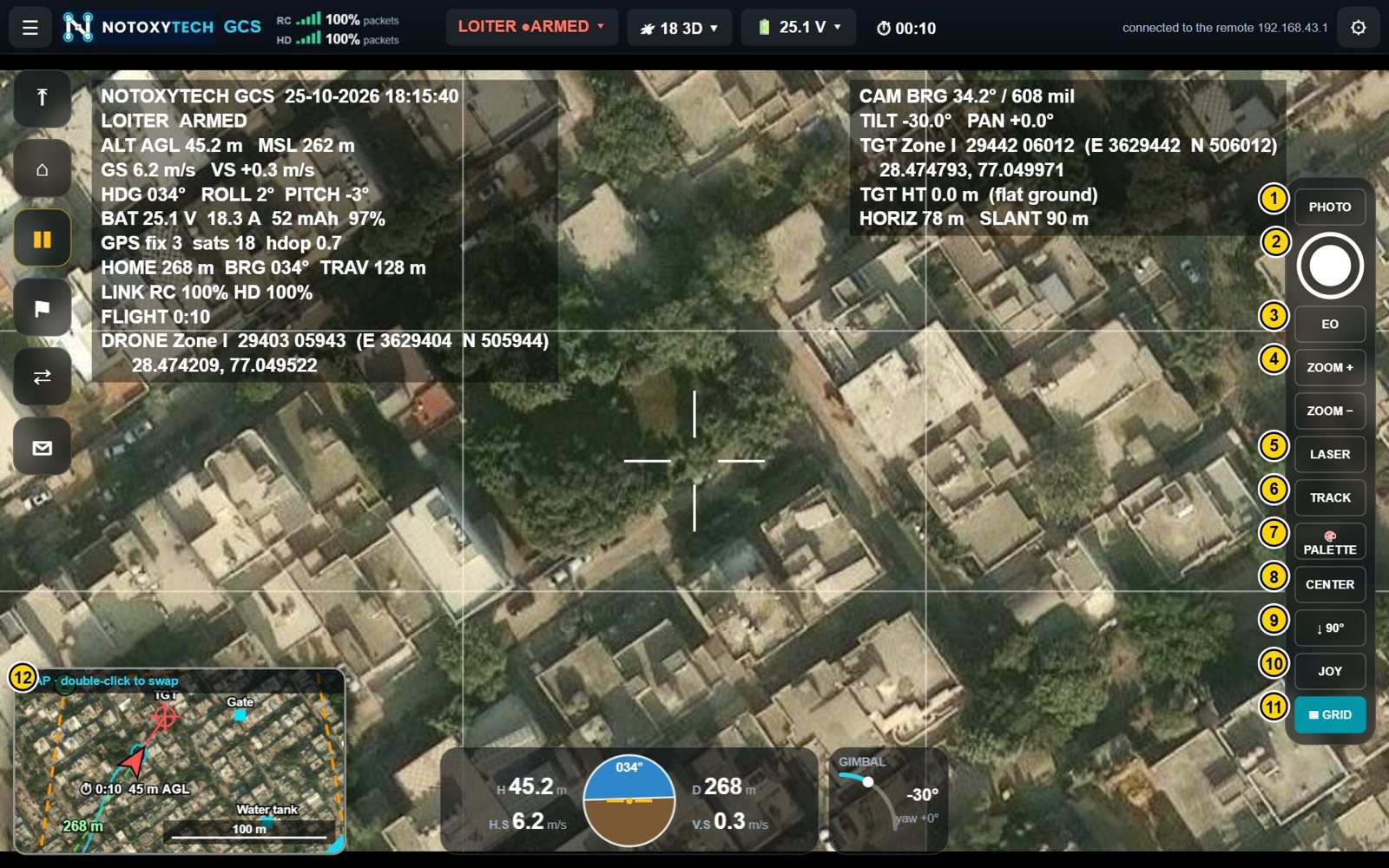
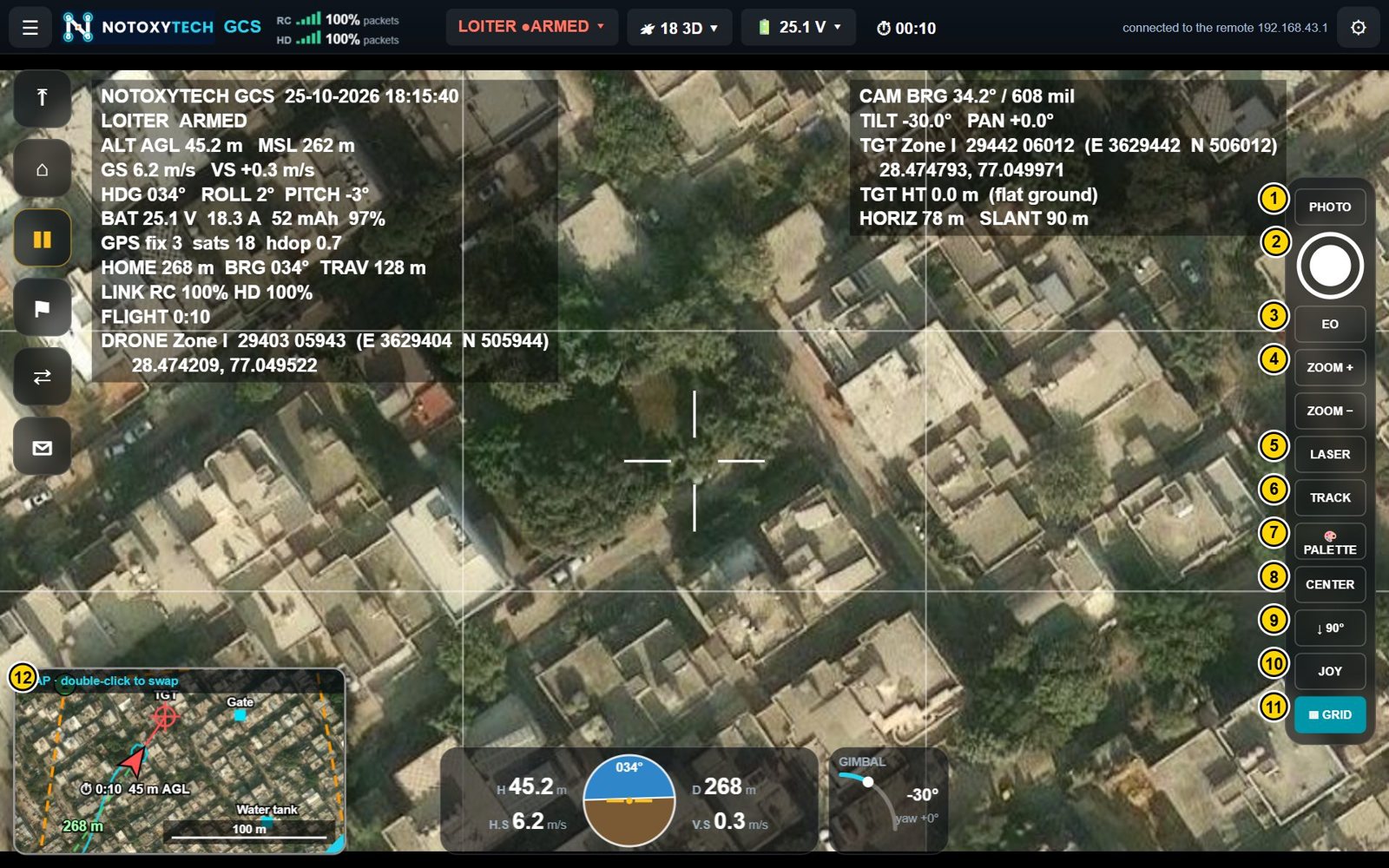
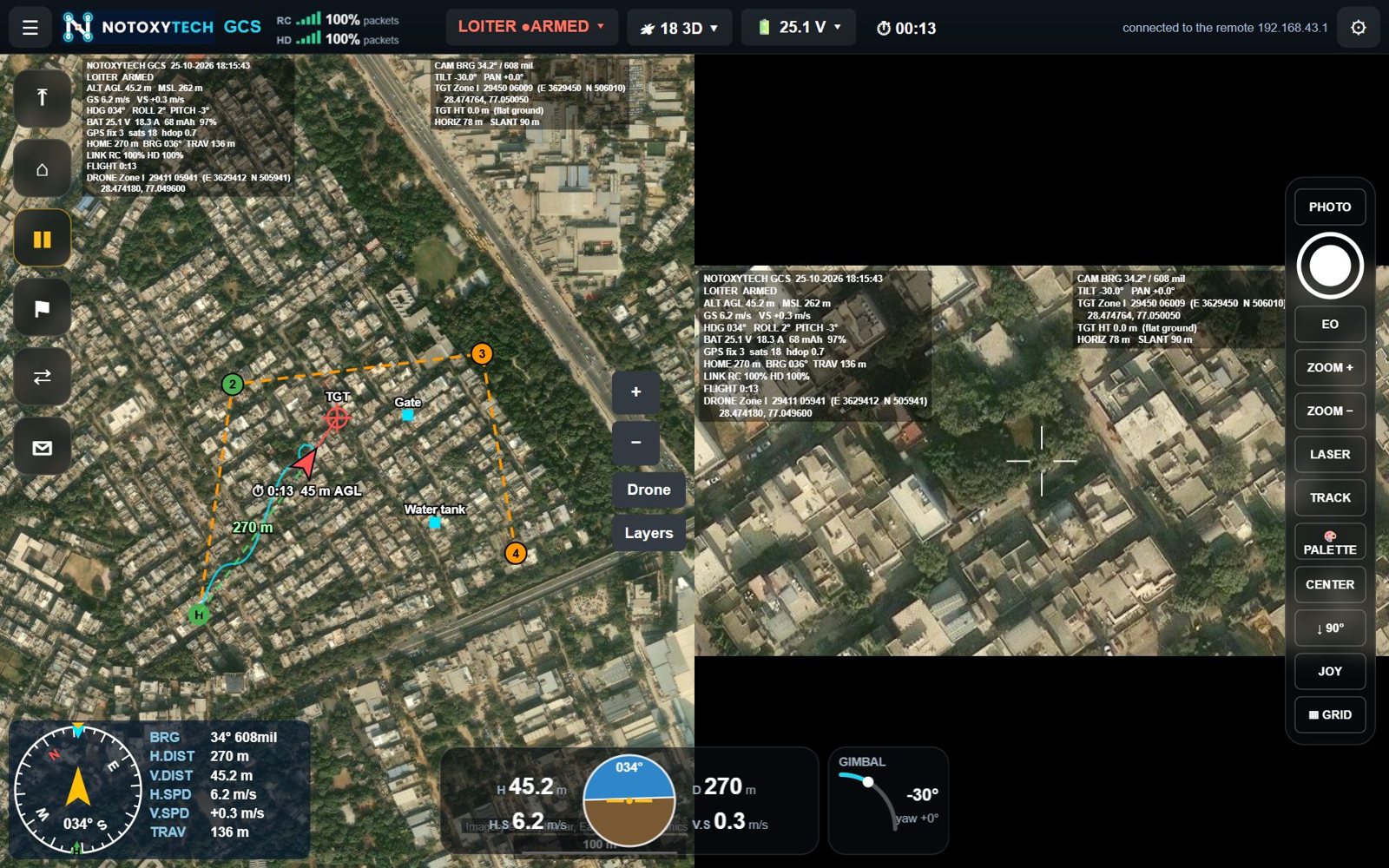
Notoxytech GCS is a universal ground control station for drones and other unmanned vehicles that use MAVLink — ArduPilot and PX4. Flight data, the map and the camera picture share one screen, and the same app controls the vehicle, the gimbal camera and the laser rangefinder. It comes in three versions: Android, Windows Pilot and Windows Companion.
What is a universal ground control station?
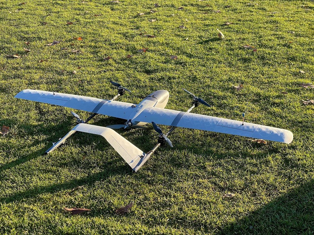
A ground control station (GCS) is the software an operator uses to fly an unmanned aircraft, watch its video and manage its mission. Notoxytech GCS is built for any vehicle that speaks MAVLink — multicopters, planes, QuadPlane / VTOL aircraft, rovers and subs running ArduPilot, and PX4 vehicles — so one interface can serve a whole mixed fleet.
Three versions, one interface
| GCS for Android | GCS Pilot for Windows | GCS Companion for Windows | |
|---|---|---|---|
| Runs on | Android 7 or newer: remote controllers with a screen, tablets | Windows 10 / 11 laptop, Microsoft Edge or Chrome | Windows 10 / 11 laptop, Microsoft Edge or Chrome |
| Connects to the drone | Through the remote’s datalink (automatic), UDP, TCP or USB radio | SIYI HM30 ground unit (Wi-Fi / Ethernet), RadioMaster Ranger / Nomad (ExpressLRS), telemetry radio on USB | Through Notoxytech GCS on a remote controller over its Wi-Fi hotspot, or any MAVLink UDP / TCP / USB link |
| Flown with | The remote controller’s sticks; optional gamepad | USB or Bluetooth gamepad, screen and keyboard | The remote controller’s sticks; screen and keyboard for the rest |
Read more: GCS for Android · GCS Pilot for Windows · GCS Companion for Windows.
What every version can do
- Flight control — take off, land, return home, pause, every flight mode of the vehicle type (LOITER, POSHOLD, GUIDED, AUTO, RTL, SMART RTL, BRAKE, LAND), arm / disarm with confirmation, Fly here and change altitude.
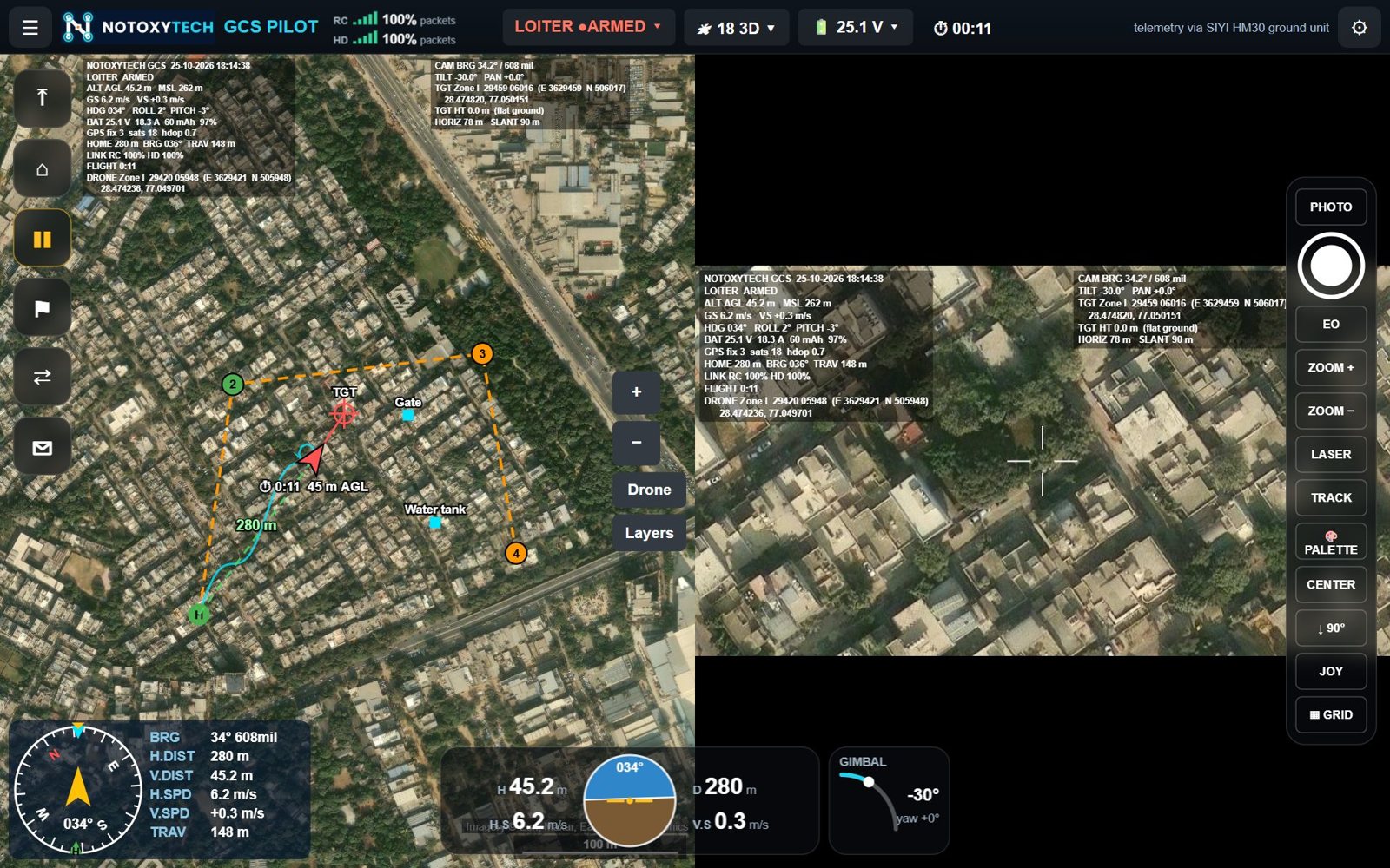
- Map and missions — live map with flown path and line to home; Google, Bing, Esri, OpenStreetMap / OpenTopoMap and Mapbox sources; offline maps; waypoint mission planning, survey areas, and Mission Planner / QGroundControl
.waypointsfiles. - Camera, gimbal and video — low-delay H.264 / H.265 video with OSD, map / video split or picture-in-picture, day / thermal switching and palettes, zoom, target tracking and laser rangefinder control.
- Targeting and coordinates — target position by laser or flat-ground calculation, captured points, fire correction (left / right, add / drop, also in grid east / north), and Lat/Long, UTM, MGRS, Indian Grid (Everest, zones I–IVa) and DSM (India NSF LCC) formats.
- Safety and monitoring — preflight checklist, two-way link quality with a 2-minute graph, battery reserve warning, autopilot messages and instruments.
Supported autopilots, radios and gimbal cameras
All three versions support ArduPilot (Copter, Plane, QuadPlane / VTOL, Rover, Sub) and PX4; SIYI HM30 and MK-series ground units, ExpressLRS (RadioMaster Ranger / Nomad) in MAVLink mode, SiK telemetry radios and Herelink; and gimbal cameras including Skydroid C11 / C12 / C14, SIYI A8 mini, A2 mini, ZR10, ZR30, ZT30 and ZT6, and Reebot UniPod MT11 — or any camera controlled through the flight controller.
Which version should you choose?
- Flying from a remote controller with a screen? Choose Notoxytech GCS for Android.
- Flying from a laptop, with no remote controller? Choose Notoxytech GCS Pilot for Windows and a gamepad.
- Want a second, full ground station for a commander or observer? Add Notoxytech GCS Companion for Windows alongside the remote.
Frequently asked questions
What is Notoxytech GCS?
Notoxytech GCS is a universal ground control station for drones and other unmanned vehicles that use MAVLink (ArduPilot and PX4). It shows flight data, the map and the camera picture on one screen, and controls the vehicle, the gimbal camera and the laser rangefinder.
Which versions of Notoxytech GCS are available?
Three: Notoxytech GCS for Android (on the remote controller or a tablet), Notoxytech GCS Pilot for Windows (a laptop flown with a gamepad) and Notoxytech GCS Companion for Windows (a laptop working alongside the app on the remote controller).
Does Notoxytech GCS support Indian grid coordinates?
Yes. Besides Lat/Long, UTM and MGRS, it supports Indian Grid (Everest, zones I–IVa) and DSM (India NSF LCC, 18 sectors, selected automatically).
Can Notoxytech GCS work without internet?
Yes. Named map areas can be downloaded in advance as offline maps for flying without an internet connection.