One screen
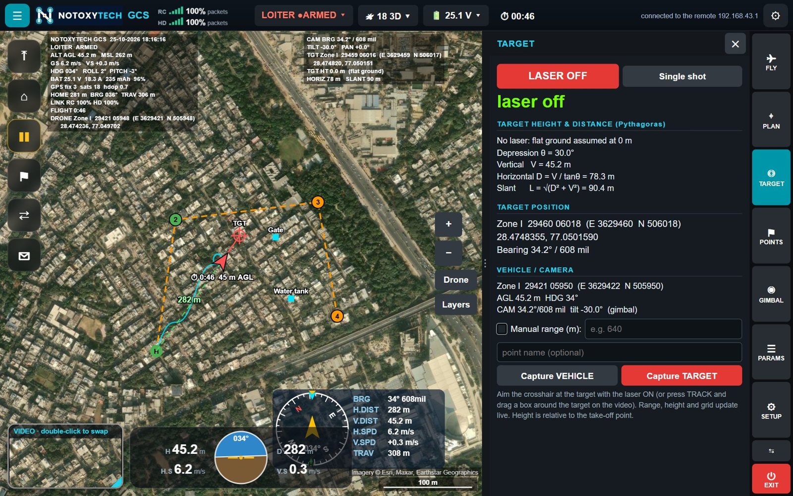
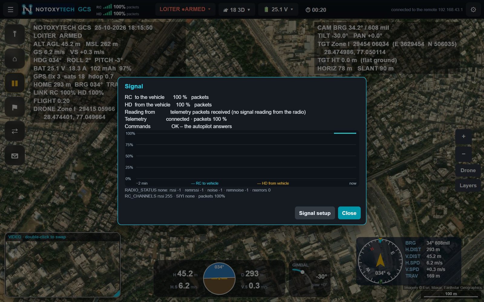
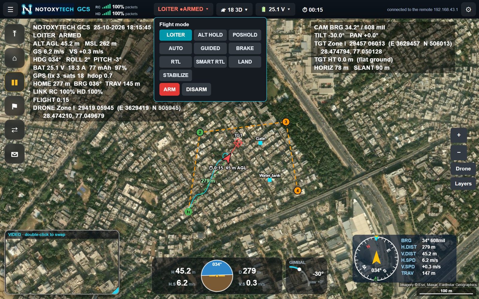
Flight data, the map and the camera picture together, with instruments and quick flight buttons.
 NOTOXYTECHTECHNOLOGIES PVT LTD
ISR and SURVEILLANCE UAV's
10 inch to 30 inch Surveillance Drone
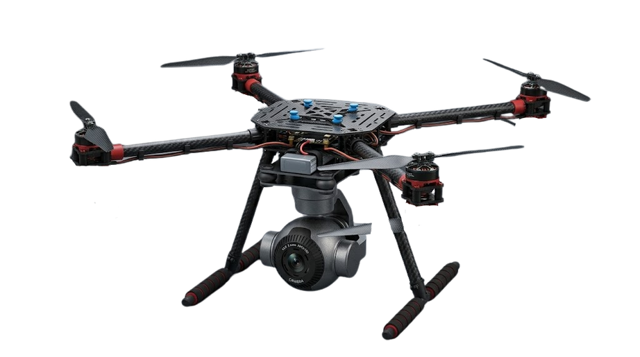 10" Day Surveillance10-inch day ISR quadcopter, 4K 30× zoom
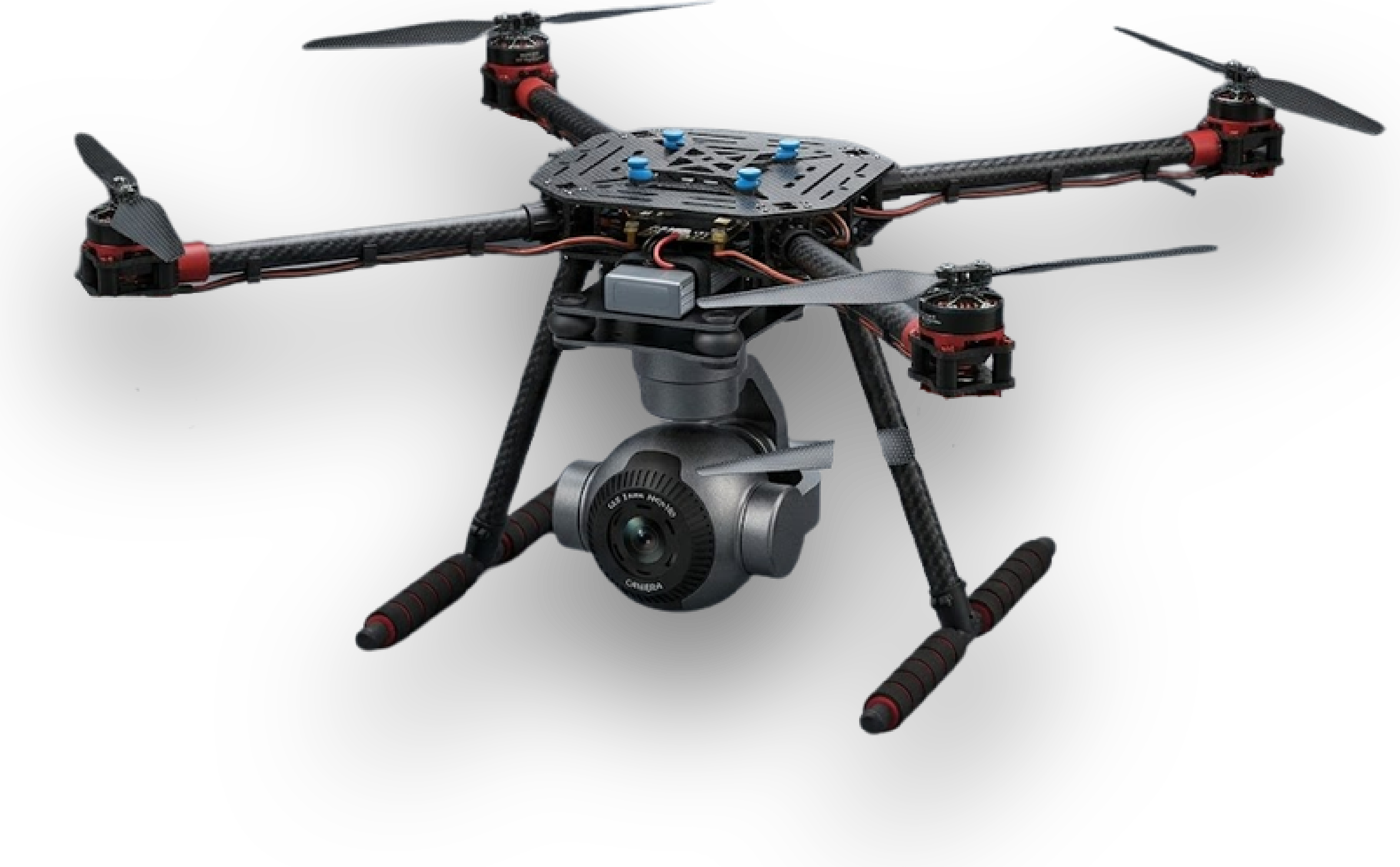 10" Day & Night Surveillance10-inch day & night ISR quadcopter
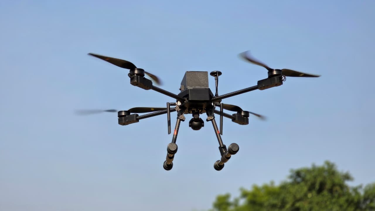 Shivnetra 18"18-inch tri-sensor ISR quadcopter (EO / IR / LRF)
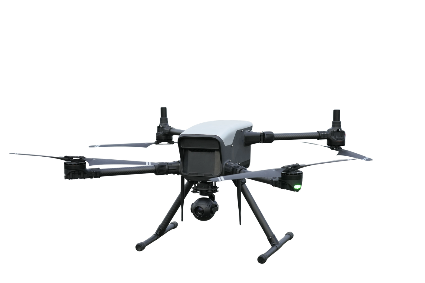 Shivnetra 2.0 · 24"24-inch Quadcopter with Laser Range Finder
FPV Shakti Series- Kamikaze
5 inch to 15 inch Kamikaze Drones
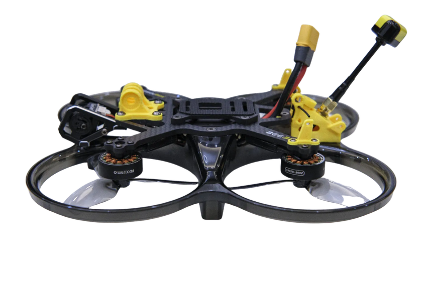
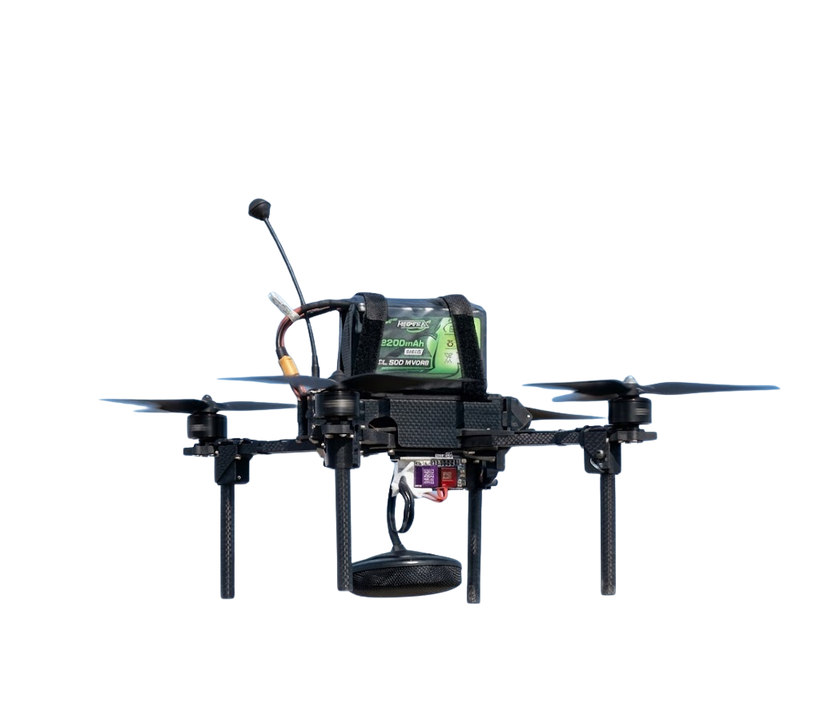 FPV Shakti 10"10-inch class FPV Kamikaze Drone (Loitering Munition)
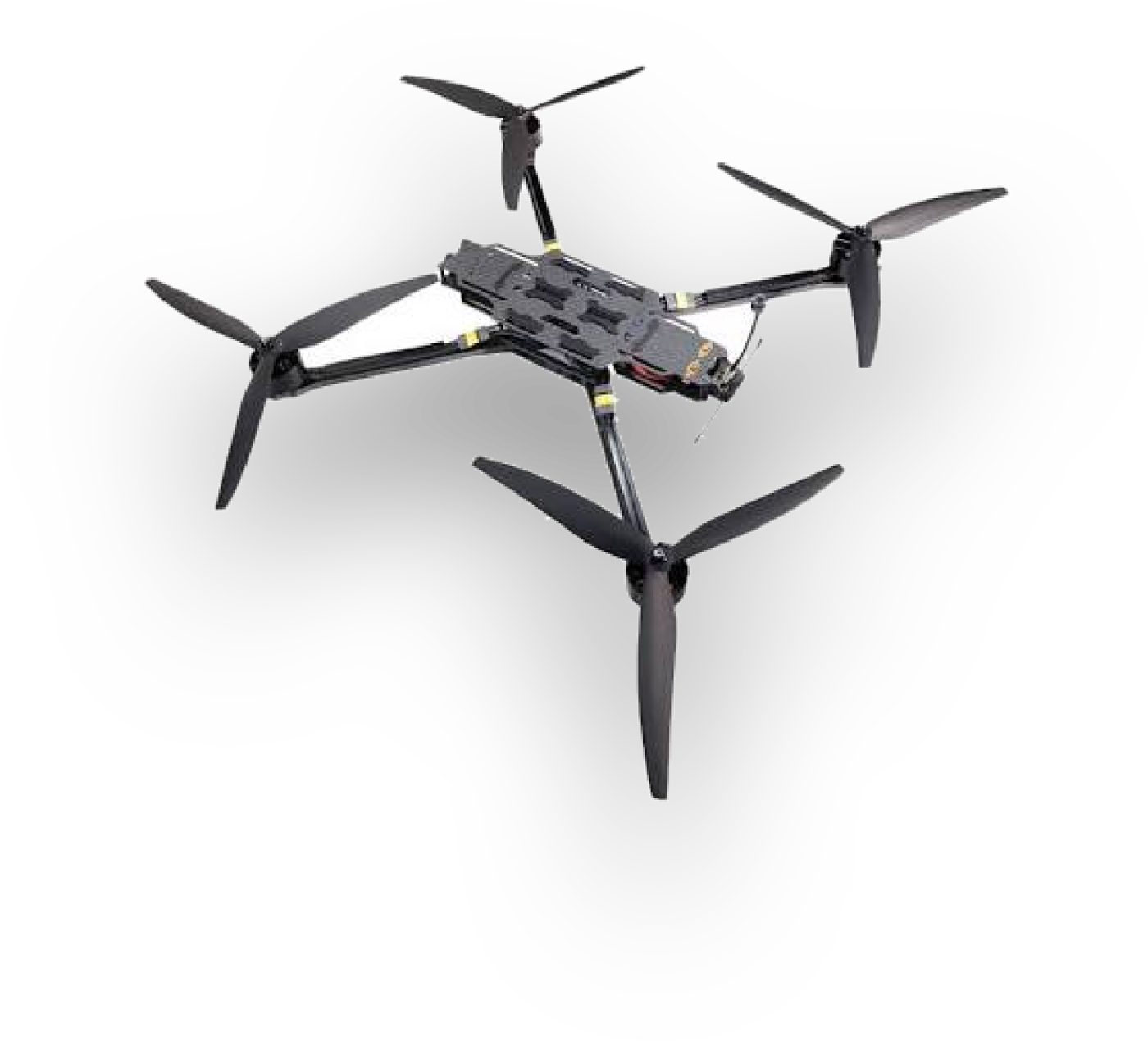 FPV Shakti 15"15-inch heavy-lift FPV quadcopter
Fixed Wings & Loitering Ammunation
Composite & FDM Based
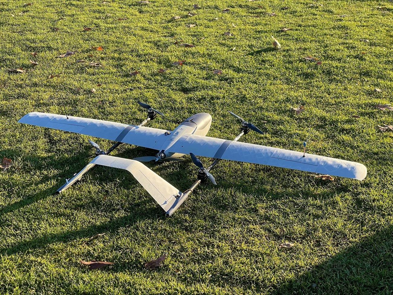 Pinak-X VTOL2-metre quadplane VTOL for long-endurance ISR
Ground Control Station
Universal ground control stations for MAVLink UAVs
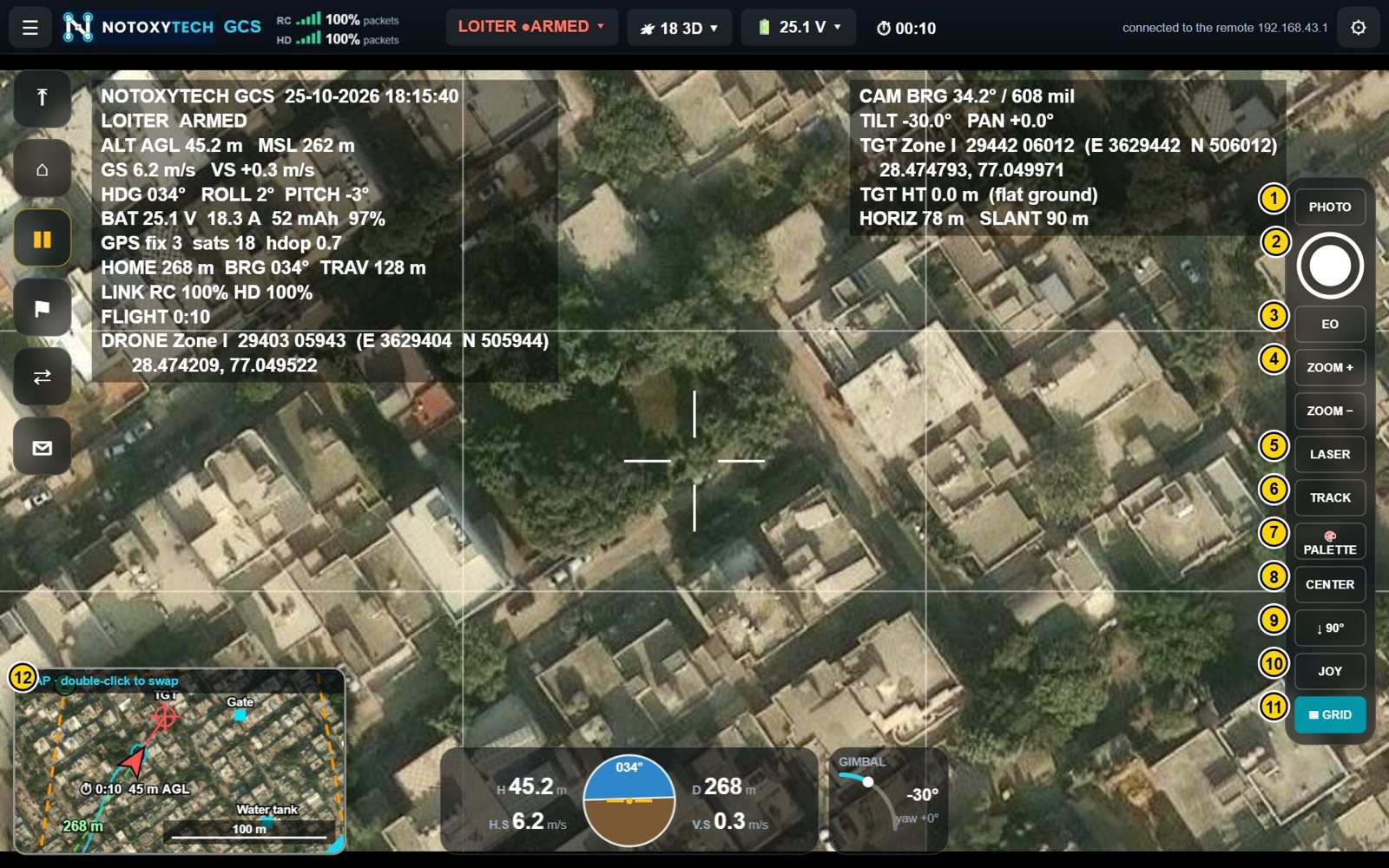 Notoxytech GCS — AndroidUniversal ground control station on the Android remote controller or tablet
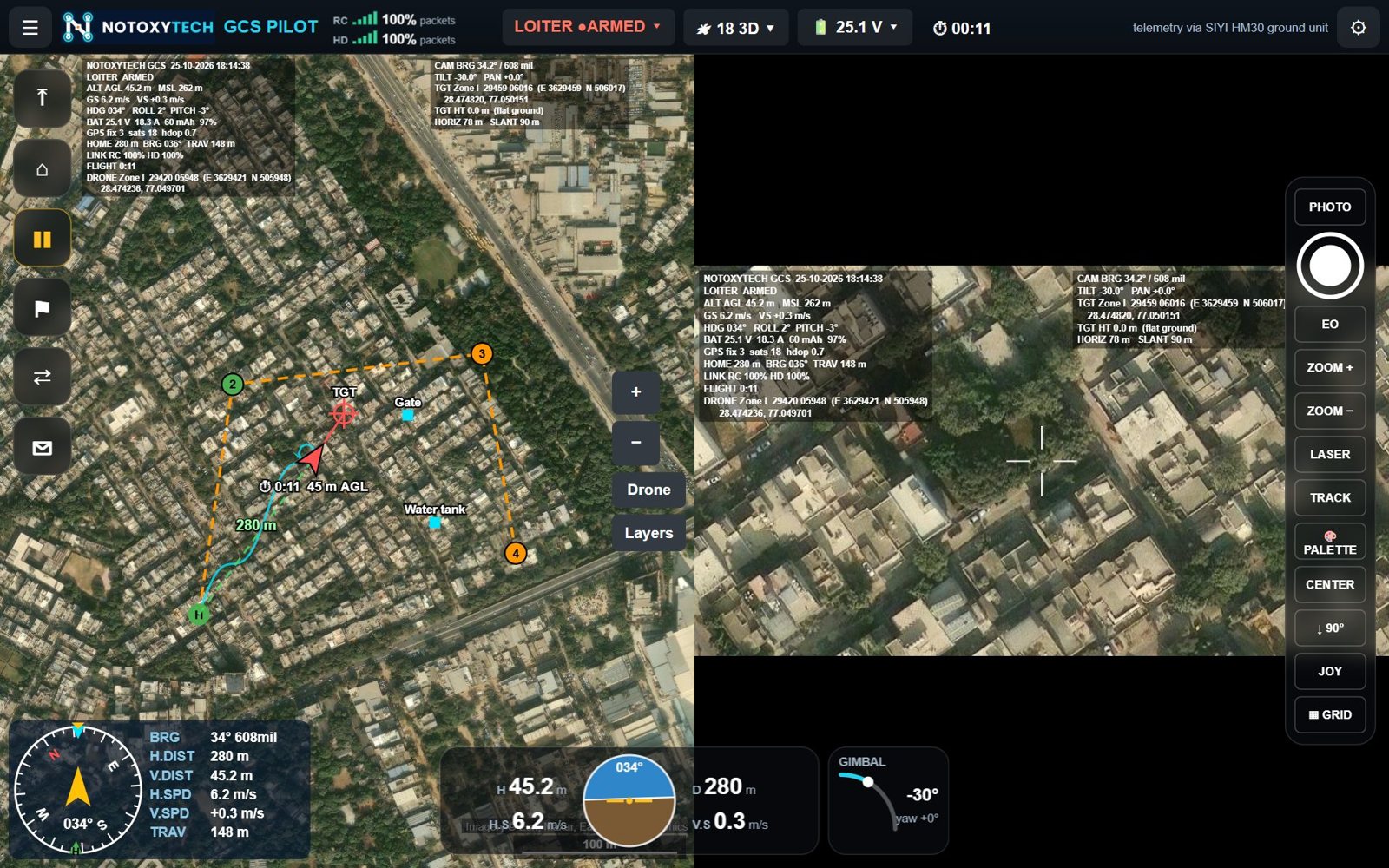 Notoxytech GCS Pilot — WindowsUniversal ground control station on a Windows laptop, flown with a gamepad
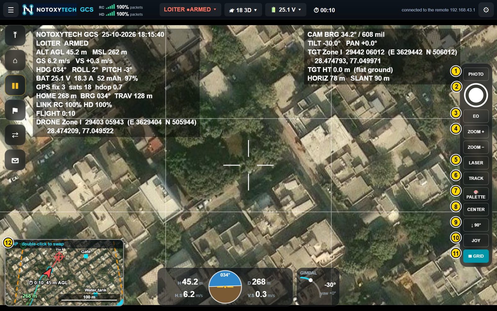 Notoxytech GCS Companion — WindowsA second, full ground station on a Windows laptop alongside the remote controller
Ground control station
GCS-WC · A second, full ground station on a Windows laptop alongside the remote controller
A universal ground control station for drones and other MAVLink vehicles (ArduPilot and PX4) on a Windows 10 / 11 laptop, working alongside Notoxytech GCS on the remote controller.
Function catalogue · PDF, 0.7 MB · User manual, PDF, 6.4 MB
Overview
Notoxytech GCS Companion for Windows shows flight data, the map and the camera picture on one screen, and controls the vehicle, the gimbal camera and the laser rangefinder.
It runs in Microsoft Edge or Chrome on a Windows 10 / 11 laptop and connects through Notoxytech GCS on a remote controller, over the remote’s Wi-Fi hotspot — or over any MAVLink UDP, TCP or USB link.
The vehicle is flown with the remote controller’s sticks; the laptop handles the rest with the screen and keyboard — telemetry, video, camera control and the laser, through the app on the remote.
Flight data, the map and the camera picture together, with instruments and quick flight buttons.
Works with ArduPilot (Copter, Plane, QuadPlane / VTOL, Rover, Sub) and PX4 vehicles.
Aim, zoom, switch day / thermal, track a target and fire the laser rangefinder.
Target position by laser or flat-ground calculation, captured points, add / drop and left / right corrections.
Lat/Long, UTM, MGRS, Indian Grid (Everest) and DSM (India NSF LCC) coordinates.
Download named map areas and fly without an internet connection.
The OEM functions (autopilot parameters, sensor calibration, link, camera, gimbal and display setup) are password-protected and reserved for the manufacturer of the drone system.